
Stanwell topographic map
Interactive map
Click on the map to display elevation.
About this map
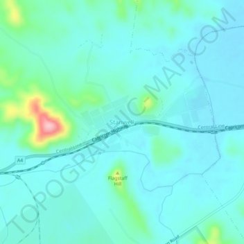
Name: Stanwell topographic map, elevation, terrain.
Location: Stanwell, Rockhampton Regional, Queensland, Australia (-23.50343 150.30765 -23.46343 150.34765)
Average elevation: 56 m
Minimum elevation: 30 m
Maximum elevation: 195 m