
Boechout topographic map
Interactive map
Click on the map to display elevation.
About this map
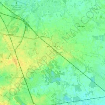
Name: Boechout topographic map, elevation, terrain.
Location: Boechout, Antwerp, Flanders, Belgium (51.12960 4.47911 51.19050 4.56517)
Average elevation: 13 m
Minimum elevation: 3 m
Maximum elevation: 25 m