
Veld topographic map
Interactive map
Click on the map to display elevation.
About this map
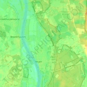
Name: Veld topographic map, elevation, terrain.
Location: Veld, Limburg, Netherlands, 5944, The Netherlands (51.46463 6.16220 51.50463 6.20220)
Average elevation: 20 m
Minimum elevation: 7 m
Maximum elevation: 33 m