
Varese Ligure topographic map
Interactive map
Click on the map to display elevation.
About this map
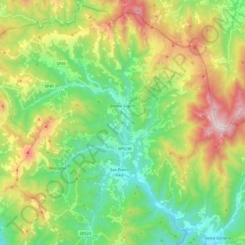
Name: Varese Ligure topographic map, elevation, terrain.
Location: Varese Ligure, La Spezia, Liguria, 19028, Italy (44.28957 9.46574 44.44157 9.67504)
Average elevation: 711 m
Minimum elevation: 221 m
Maximum elevation: 1,619 m