
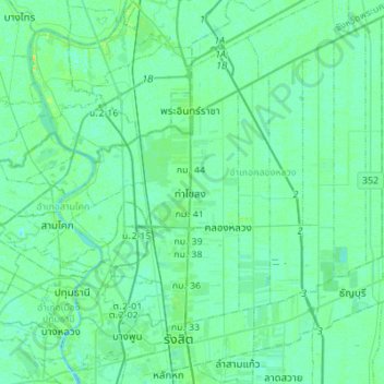
Khlong Nueng topographic map
Interactive map
Click on the map to display elevation.
About this map
Name: Khlong Nueng topographic map, elevation, terrain.
Average elevation: 4 m
Minimum elevation: -1 m
Maximum elevation: 18 m
Other topographic maps
Click on a map to view its topography, its elevation and its terrain.
Ban Phon Sawan
Thailand > Pathum Thani Province > Bueng Bon Subdistrict Administrative Organization > Bueng Bon Subdistrict
Ban Phon Sawan, Bueng Bon Subdistrict, Bueng Bon Subdistrict Administrative Organization, Nong Suea District, Pathum Thani Province, Thailand
Average elevation: 4 m
Khlong Luang District
Thailand > Pathum Thani Province
Khlong Luang District, Pathum Thani Province, Thailand
Average elevation: 4 m
Pruksa 44 Rangsit-Klong 2
Thailand > Pathum Thani Province > Pruksa 44 Rangsit-Klong 2
Pruksa 44 Rangsit-Klong 2, Khlong Luang, Pathum Thani Province, 1212O, Thailand
Average elevation: 4 m