
Watsons Creek topographic map
Interactive map
Click on the map to display elevation.
About this map
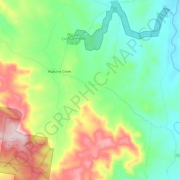
Name: Watsons Creek topographic map, elevation, terrain.
Average elevation: 901 m
Minimum elevation: 762 m
Maximum elevation: 1,151 m
Australia trails, hiking, mountain biking, running and outdoor activities