
Ridley topographic map
Interactive map
Click on the map to display elevation.
About this map
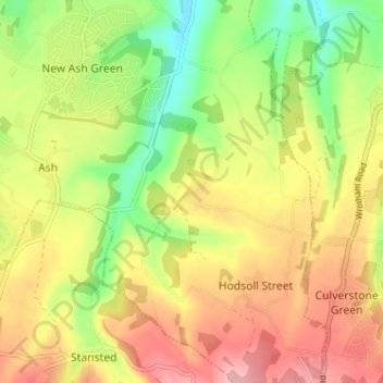
Name: Ridley topographic map, elevation, terrain.
Location: Ridley, Kent, South East, England, TN15 7EX, United Kingdom (51.33277 0.30188 51.37277 0.34188)
Average elevation: 146 m
Minimum elevation: 84 m
Maximum elevation: 203 m