
Bukit Raya topographic map
Interactive map
Click on the map to display elevation.
About this map
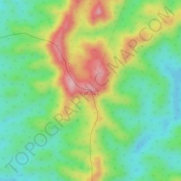
Name: Bukit Raya topographic map, elevation, terrain.
Location: Bukit Raya, Gua Musang, Kelantan, Malaysia (4.75256 101.82116 4.75266 101.82126)
Average elevation: 276 m
Minimum elevation: 200 m
Maximum elevation: 380 m
Other topographic maps
Click on a map to view its topography, its elevation and its terrain.
Manek Urai
Malaysia > Kelantan > Manek Urai
Manek Urai, Kuala Krai, Kelantan, Malaysia
Average elevation: 62 m
Rantau Panjang
Malaysia > Kelantan > Rantau Panjang
Rantau Panjang, Pasir Mas, Kelantan, Malaysia
Average elevation: 12 m