
Halloran topographic map
Interactive map
Click on the map to display elevation.
About this map
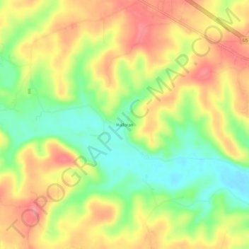
Name: Halloran topographic map, elevation, terrain.
Location: Halloran, Butler County, Missouri, United States (36.81339 -90.63817 36.85339 -90.59817)
Average elevation: 172 m
Minimum elevation: 126 m
Maximum elevation: 212 m