
El Guamuchil topographic map
Interactive map
Click on the map to display elevation.
About this map
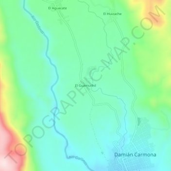
Name: El Guamuchil topographic map, elevation, terrain.
Location: El Guamuchil, Tamasopo, San Luis Potosí, México (22.09350 -99.32397 22.13350 -99.28397)
Average elevation: 439 m
Minimum elevation: 334 m
Maximum elevation: 733 m