
Southern Alps / Kā Tiritiri o te Moana topographic map
Interactive map
Click on the map to display elevation.
About this map
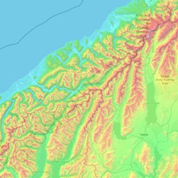
Name: Southern Alps / Kā Tiritiri o te Moana topographic map, elevation, terrain.
Average elevation: 771 m
Minimum elevation: -1 m
Maximum elevation: 3,708 m
The Southern Alps / Kā Tiritiri o te Moana is a mountain range extending along much of the length of New Zealand's South Island, reaching its greatest elevations near the range's western side. The name "Southern Alps" generally refers to the entire range, although separate names are given to many of the smaller ranges that form part of it.