
Chao Phraya Surasak topographic map
Interactive map
Click on the map to display elevation.
About this map
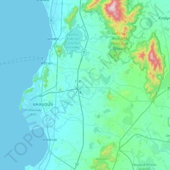
Name: Chao Phraya Surasak topographic map, elevation, terrain.
Location: Chao Phraya Surasak, Chon Buri Province, Thailand (12.96406 100.83962 13.28406 101.15962)
Average elevation: 78 m
Minimum elevation: 0 m
Maximum elevation: 780 m