
Carrington topographic map
Interactive map
Click on the map to display elevation.
About this map
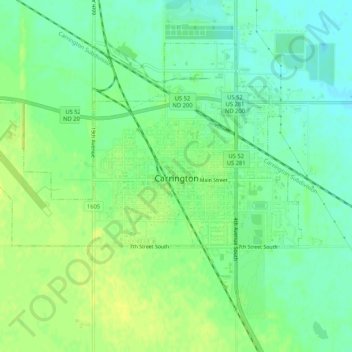
Name: Carrington topographic map, elevation, terrain.
Average elevation: 484 m
Minimum elevation: 475 m
Maximum elevation: 492 m
Other topographic maps
Click on a map to view its topography, its elevation and its terrain.
Glenfield
United States > North Dakota > Foster County
Glenfield, Foster County, North Dakota, United States
Average elevation: 457 m