
Gurye-gun topographic map
Interactive map
Click on the map to display elevation.
About this map
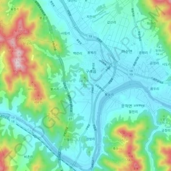
Name: Gurye-gun topographic map, elevation, terrain.
Location: Gurye-gun, Jeollanam-do, South Korea (35.16172 127.42017 35.24172 127.50017)
Average elevation: 154 m
Minimum elevation: 16 m
Maximum elevation: 625 m