
Middle Portal topographic map
Interactive map
Click on the map to display elevation.
About this map
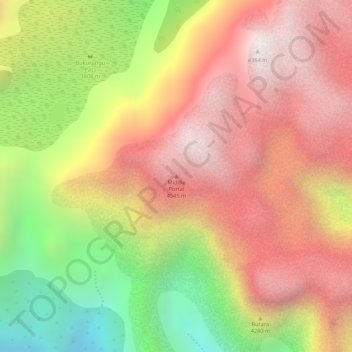
Name: Middle Portal topographic map, elevation, terrain.
Location: Middle Portal, Kasese, Western Region, Uganda (0.39539 29.95203 0.39549 29.95213)
Average elevation: 3,946 m
Minimum elevation: 3,317 m
Maximum elevation: 4,378 m
Other topographic maps
Click on a map to view its topography, its elevation and its terrain.
Rwenzori Mountains
Rwenzori Mountains, Kasese, Western Region, Uganda
Average elevation: 1,570 m
Coronation Glacier
Coronation Glacier, South Ridge Route, Kasese, Western Region, Uganda
Average elevation: 4,405 m