
Dawn topographic map
Interactive map
Click on the map to display elevation.
About this map
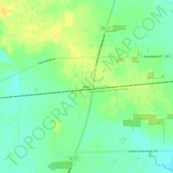
Name: Dawn topographic map, elevation, terrain.
Location: Dawn, Darke County, Ohio, United States (40.19699 -84.59884 40.23699 -84.55884)
Average elevation: 310 m
Minimum elevation: 298 m
Maximum elevation: 322 m