
Mandeville topographic map
Interactive map
Click on the map to display elevation.
About this map
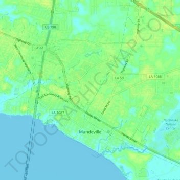
Name: Mandeville topographic map, elevation, terrain.
Location: Mandeville, St. Tammany Parish, Louisiana, United States (30.34835 -90.12555 30.40426 -90.03525)
Average elevation: 6 m
Minimum elevation: -3 m
Maximum elevation: 14 m
Mandeville is located at 30°22′9″N 90°4′41″W / 30.36917°N 90.07806°W / 30.36917; -90.07806 (30.369282, -90.078006) and has an elevation of 7 feet (2.1 m).