
Orange Springs topographic map
Interactive map
Click on the map to display elevation.
About this map
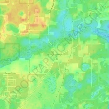
Name: Orange Springs topographic map, elevation, terrain.
Location: Orange Springs, Marion County, Florida, 32182, United States (29.48608 -81.96537 29.52608 -81.92537)
Average elevation: 21 m
Minimum elevation: 4 m
Maximum elevation: 38 m