
Renmark West topographic map
Interactive map
Click on the map to display elevation.
About this map
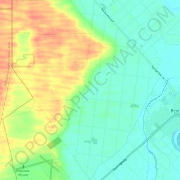
Name: Renmark West topographic map, elevation, terrain.
Average elevation: 34 m
Minimum elevation: 15 m
Maximum elevation: 65 m
Other topographic maps
Click on a map to view its topography, its elevation and its terrain.
Renmark
Australia > South Australia > Renmark
Renmark, Renmark Paringa Council, South Australia, 5341, Australia
Average elevation: 24 m