
Donkereind topographic map
Interactive map
Click on the map to display elevation.
About this map
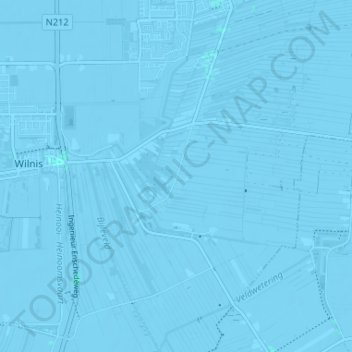
Name: Donkereind topographic map, elevation, terrain.
Location: Donkereind, Utrecht, Nederland, 3645, Nederland (52.17392 4.90651 52.21392 4.94651)
Average elevation: -3 m
Minimum elevation: -9 m
Maximum elevation: 2 m