
Tahoua topographic map
Interactive map
Click on the map to display elevation.
About this map
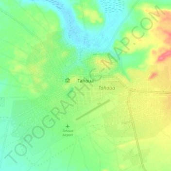
Name: Tahoua topographic map, elevation, terrain.
Location: Tahoua, BP86, Niger (14.86501 5.23562 14.91288 5.30070)
Average elevation: 380 m
Minimum elevation: 354 m
Maximum elevation: 404 m