
Chillagoe topographic map
Interactive map
Click on the map to display elevation.
About this map
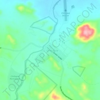
Name: Chillagoe topographic map, elevation, terrain.
Location: Chillagoe, Queensland, Australia (-17.17397 144.50218 -17.13397 144.54218)
Average elevation: 371 m
Minimum elevation: 333 m
Maximum elevation: 492 m
Other topographic maps
Click on a map to view its topography, its elevation and its terrain.
Chillagoe-Mungana Caves National Park
Australia > Queensland > Chillagoe
Chillagoe-Mungana Caves National Park, Chillagoe, Mareeba Shire, Queensland, Australia
Average elevation: 366 m