
Kenmare topographic map
Interactive map
Click on the map to display elevation.
About this map
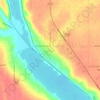
Name: Kenmare topographic map, elevation, terrain.
Location: Kenmare, Ward County, North Dakota, United States (48.66370 -102.09456 48.68655 -102.03737)
Average elevation: 577 m
Minimum elevation: 541 m
Maximum elevation: 607 m