
Kurrimine Beach topographic map
Interactive map
Click on the map to display elevation.
About this map
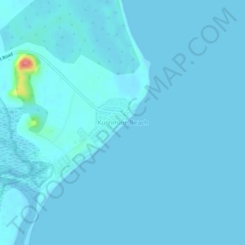
Name: Kurrimine Beach topographic map, elevation, terrain.
Location: Kurrimine Beach, Queensland, Australia (-17.79729 146.08730 -17.75729 146.12730)
Average elevation: 3 m
Minimum elevation: -4 m
Maximum elevation: 79 m
Other topographic maps
Click on a map to view its topography, its elevation and its terrain.
Maria Creek National Park
Australia > Queensland > Kurrimine Beach
Maria Creek National Park, Murdering Point Road, Kurrimine Beach, Queensland, Australia
Average elevation: 6 m