
Sherlock topographic map
Interactive map
Click on the map to display elevation.
About this map
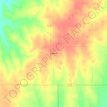
Name: Sherlock topographic map, elevation, terrain.
Location: Sherlock, Lipscomb County, Texas, United States (36.42559 -100.24402 36.46559 -100.20402)
Average elevation: 804 m
Minimum elevation: 767 m
Maximum elevation: 824 m