
Trial Bay topographic map
Interactive map
Click on the map to display elevation.
About this map
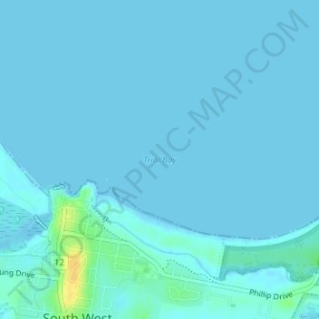
Name: Trial Bay topographic map, elevation, terrain.
Average elevation: 2 m
Minimum elevation: -2 m
Maximum elevation: 26 m
Other topographic maps
Click on a map to view its topography, its elevation and its terrain.
Hat Head National Park
Australia > New South Wales > South West Rocks > Mcguires Crossing
Hat Head National Park, Landsborough Street, South West Rocks, Kempsey Shire Council, New South Wales, 2431, Australia
Average elevation: 6 m
South West Rocks
Australia > New South Wales > South West Rocks
South West Rocks, Kempsey Shire Council, New South Wales, 2431, Australia
Average elevation: 13 m