
Manly topographic map
Interactive map
Click on the map to display elevation.
About this map
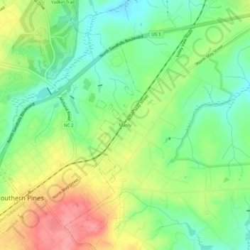
Name: Manly topographic map, elevation, terrain.
Location: Manly, Moore County, North Carolina, 28287, United States (35.16571 -79.39170 35.20571 -79.35170)
Average elevation: 133 m
Minimum elevation: 93 m
Maximum elevation: 189 m