
Craigieburn topographic map
Interactive map
Click on the map to display elevation.
About this map
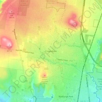
Name: Craigieburn topographic map, elevation, terrain.
Location: Craigieburn, City of Hume, Victoria, 3064, Australia (-37.63014 144.87083 -37.55014 144.95083)
Average elevation: 219 m
Minimum elevation: 147 m
Maximum elevation: 306 m
Victoria trails, hiking, mountain biking, running and outdoor activities
Other topographic maps
Click on a map to view its topography, its elevation and its terrain.