
Blackwood Creek topographic map
Interactive map
Click on the map to display elevation.
About this map
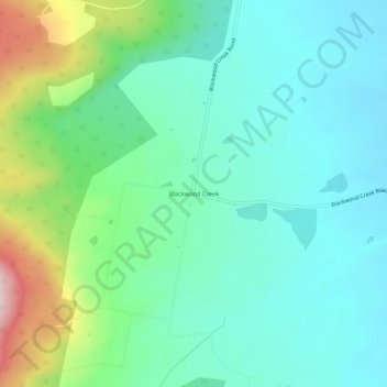
Name: Blackwood Creek topographic map, elevation, terrain.
Location: Blackwood Creek, Tasmania, Australia (-41.75664 146.88456 -41.71664 146.92456)
Average elevation: 302 m
Minimum elevation: 211 m
Maximum elevation: 575 m