
Hollister topographic map
Interactive map
Click on the map to display elevation.
About this map
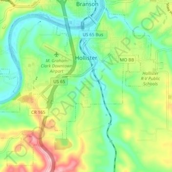
Name: Hollister topographic map, elevation, terrain.
Location: Hollister, Taney County, Missouri, United States of America (36.59016 -93.25533 36.64030 -93.18790)
Average elevation: 271 m
Minimum elevation: 210 m
Maximum elevation: 380 m