
Sauesundet topographic map
Interactive map
Click on the map to display elevation.
About this map
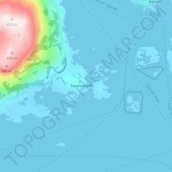
Name: Sauesundet topographic map, elevation, terrain.
Location: Sauesundet, Askvoll, Vestland, Norway (61.30726 5.01034 61.34726 5.05034)
Average elevation: 61 m
Minimum elevation: -3 m
Maximum elevation: 609 m