
Makian Island topographic map
Interactive map
Click on the map to display elevation.
About this map
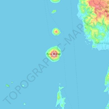
Name: Makian Island topographic map, elevation, terrain.
Location: Makian Island, Tidore Kepulauan, North Maluku, Indonesia (0.00166 127.07959 0.64166 127.71959)
Average elevation: 44 m
Minimum elevation: -1 m
Maximum elevation: 1,375 m