
Ain El Turk topographic map
Interactive map
Click on the map to display elevation.
About this map
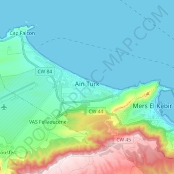
Name: Ain El Turk topographic map, elevation, terrain.
Location: Ain El Turk, Aïn Turk District, Oran, Algeria (35.70331 -0.82410 35.77329 -0.70302)
Average elevation: 117 m
Minimum elevation: -1 m
Maximum elevation: 541 m