
Péron topographic map
Interactive map
Click on the map to display elevation.
About this map
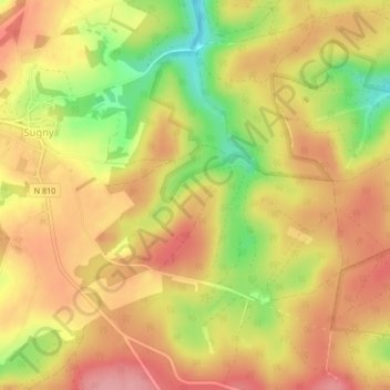
Name: Péron topographic map, elevation, terrain.
Location: Péron, Vresse-sur-Semois, Dinant, Namur, Wallonia, Belgium (49.79961 4.91007 49.81961 4.93007)
Average elevation: 368 m
Minimum elevation: 299 m
Maximum elevation: 412 m