
Ostend topographic map
Interactive map
Click on the map to display elevation.
About this map
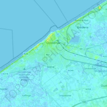
Name: Ostend topographic map, elevation, terrain.
Location: Ostend, West Flanders, Flanders, 8400, Belgium (51.18463 2.83863 51.24557 3.00354)
Average elevation: 1 m
Minimum elevation: -2 m
Maximum elevation: 24 m