
Uithuizen topographic map
Interactive map
Click on the map to display elevation.
About this map
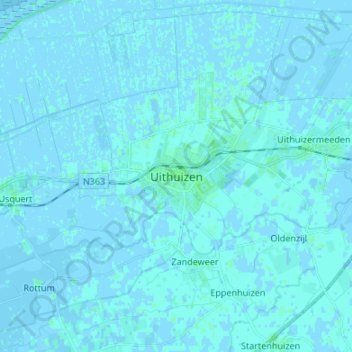
Name: Uithuizen topographic map, elevation, terrain.
Location: Uithuizen, Groningen, Nederland, 9981, Nederland (53.36745 6.63320 53.44745 6.71320)
Average elevation: 1 m
Minimum elevation: -3 m
Maximum elevation: 5 m