
Uitwierde topographic map
Interactive map
Click on the map to display elevation.
About this map
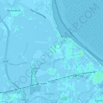
Name: Uitwierde topographic map, elevation, terrain.
Location: Uitwierde, Groningen, Nederland, 9931TE, Nederland (53.32173 6.87589 53.36173 6.91589)
Average elevation: 0 m
Minimum elevation: -4 m
Maximum elevation: 9 m