
Aalst topographic map
Interactive map
Click on the map to display elevation.
About this map
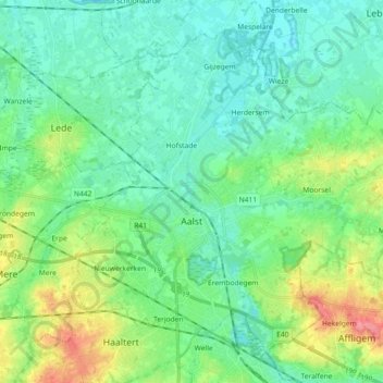
Name: Aalst topographic map, elevation, terrain.
Location: Aalst, East Flanders, Flanders, Belgium (50.89938 3.98245 50.99483 4.16343)
Average elevation: 20 m
Minimum elevation: 0 m
Maximum elevation: 78 m