
Moura topographic map
Interactive map
Click on the map to display elevation.
About this map
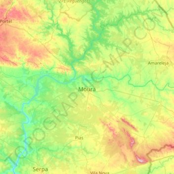
Name: Moura topographic map, elevation, terrain.
Location: Moura, Beja, Portugal (37.96061 -7.53278 38.33115 -6.98683)
Average elevation: 198 m
Minimum elevation: 57 m
Maximum elevation: 512 m