
Kropswolde topographic map
Interactive map
Click on the map to display elevation.
About this map
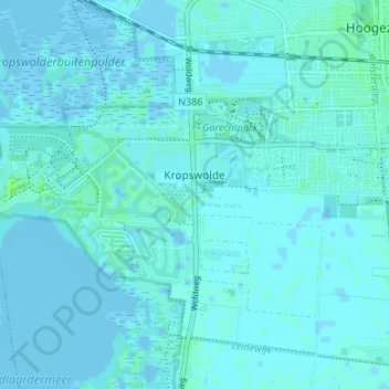
Name: Kropswolde topographic map, elevation, terrain.
Location: Kropswolde, Groningen, Nederland, 9606, Nederland (53.12663 6.70372 53.16663 6.74372)
Average elevation: 1 m
Minimum elevation: -5 m
Maximum elevation: 8 m
Other topographic maps
Click on a map to view its topography, its elevation and its terrain.
Meerwijck
Nederland > Groningen > Kropswolde
Meerwijck, Kropswolde, Midden-Groningen, Groningen, Nederland, 9606 RR, Nederland
Average elevation: 1 m