
Koningsbosch topographic map
Interactive map
Click on the map to display elevation.
About this map
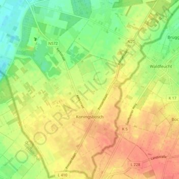
Name: Koningsbosch topographic map, elevation, terrain.
Location: Koningsbosch, Echt-Susteren, Limburg, Netherlands (51.03471 5.91686 51.08546 5.97874)
Average elevation: 55 m
Minimum elevation: 29 m
Maximum elevation: 75 m
Other topographic maps
Click on a map to view its topography, its elevation and its terrain.