
Geulhem topographic map
Interactive map
Click on the map to display elevation.
About this map
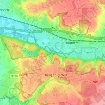
Name: Geulhem topographic map, elevation, terrain.
Average elevation: 100 m
Minimum elevation: 48 m
Maximum elevation: 149 m
Other topographic maps
Click on a map to view its topography, its elevation and its terrain.
Berg en Terblijt
Nederland > Limburg > Berg en Terblijt
Berg en Terblijt, Limburg, Nederland, 6325, Nederland
Average elevation: 104 m