
Olland topographic map
Interactive map
Click on the map to display elevation.
About this map
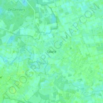
Name: Olland topographic map, elevation, terrain.
Location: Olland, Noord-Brabant, Nederland, 5491, Nederland (51.56051 5.38628 51.60051 5.42628)
Average elevation: 10 m
Minimum elevation: 6 m
Maximum elevation: 13 m