
Hunsel topographic map
Interactive map
Click on the map to display elevation.
About this map
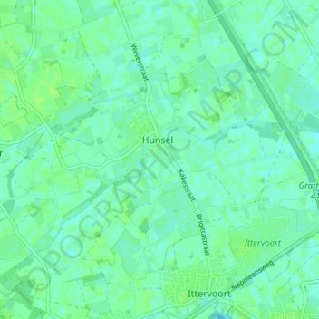
Name: Hunsel topographic map, elevation, terrain.
Location: Hunsel, Leudal, Limburg, Nederland (51.17015 5.77993 51.20385 5.84295)
Average elevation: 30 m
Minimum elevation: 26 m
Maximum elevation: 34 m
Hunsel ligt aan de Uffelse Beek, welke in oostelijke richting stroomt. De hoogte van Hunsel is ongeveer 29 meter. Ten oosten van Hunsel ligt het Kanaal Wessem-Nederweert. Hunsel wordt omgeven door landbouwgrond, terwijl langs de Uffelse Beek en enkele kleinere beken ten noorden van Hunsel, enig broekbos ligt.
Other topographic maps
Click on a map to view its topography, its elevation and its terrain.
Kelpen-Oler
Kelpen-Oler, Leudal, Limburg, Nederland
Average elevation: 29 m