
Oosteind topographic map
Interactive map
Click on the map to display elevation.
About this map
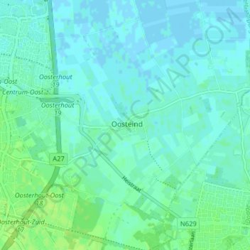
Name: Oosteind topographic map, elevation, terrain.
Location: Oosteind, Oosterhout, Noord-Brabant, Nederland, 4909, Nederland (51.62487 4.88005 51.66487 4.92005)
Average elevation: 4 m
Minimum elevation: -2 m
Maximum elevation: 10 m