
Molenschot topographic map
Interactive map
Click on the map to display elevation.
About this map
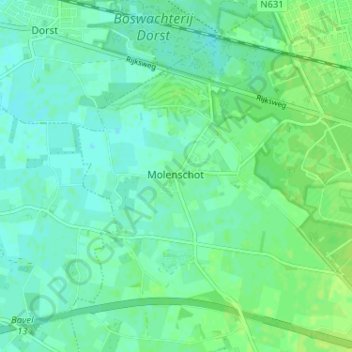
Name: Molenschot topographic map, elevation, terrain.
Location: Molenschot, Noord-Brabant, Nederland, 5124, Nederland (51.55321 4.86246 51.59321 4.90246)
Average elevation: 9 m
Minimum elevation: 4 m
Maximum elevation: 15 m