
Lamswaarde topographic map
Interactive map
Click on the map to display elevation.
About this map
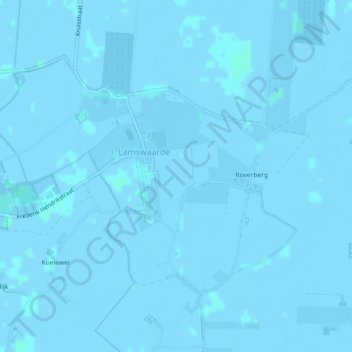
Name: Lamswaarde topographic map, elevation, terrain.
Location: Lamswaarde, Hulst, Zeeland, Nederland (51.33159 4.03160 51.35110 4.07681)
Average elevation: -1 m
Minimum elevation: -4 m
Maximum elevation: 2 m
Other topographic maps
Click on a map to view its topography, its elevation and its terrain.