
Bergeijk topographic map
Interactive map
Click on the map to display elevation.
About this map
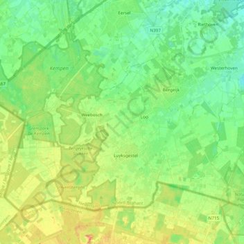
Name: Bergeijk topographic map, elevation, terrain.
Location: Bergeijk, North Brabant, Netherlands, The Netherlands (51.26219 5.22597 51.34766 5.41741)
Average elevation: 35 m
Minimum elevation: 21 m
Maximum elevation: 55 m
Topographic map of the municipality of Bergeijk, June 2015.