
Drunen topographic map
Interactive map
Click on the map to display elevation.
About this map
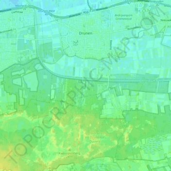
Name: Drunen topographic map, elevation, terrain.
Location: Drunen, Heusden, North Brabant, Netherlands (51.63536 5.10151 51.69852 5.17627)
Average elevation: 6 m
Minimum elevation: -1 m
Maximum elevation: 15 m