
Susteren topographic map
Interactive map
Click on the map to display elevation.
About this map
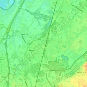
Name: Susteren topographic map, elevation, terrain.
Location: Susteren, Echt-Susteren, Limburg, Netherlands (51.04562 5.82054 51.09376 5.91321)
Average elevation: 32 m
Minimum elevation: 20 m
Maximum elevation: 45 m
Other topographic maps
Click on a map to view its topography, its elevation and its terrain.